Natural Areas
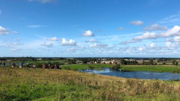
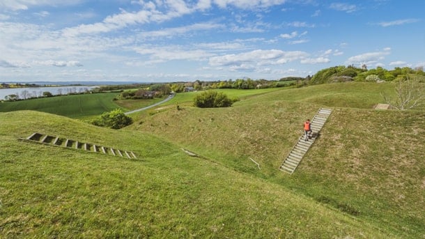
South Funen and the archipelago is known for both its mild, fertile climate and a varied and hilly landscape with hills and valleys that bear witness to the enormous forces at work as the ice retreated and retreated during the Ice Age, modelling the landscape that captivates us today.
Svanninge Bakker og Bjerge
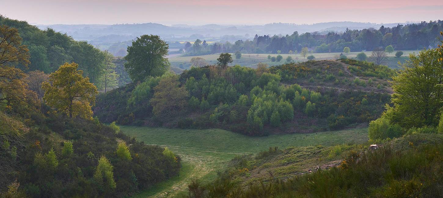
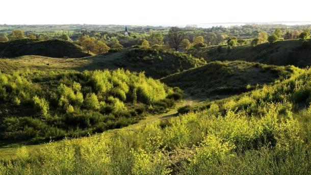
Svanninge Bakker and Svanninge Bjerge (meaning ‘the hills/mountains of Svanninge’ respectively) are parts of the so-called ‘Alps of Fyn’ - a 16 km long and 6-8 km wide range of hills reaching a height of 128 m.
Geopark: Egense Ridge
Elongated, up to 54 meters high, ridge that winds in an irregular course through the landscape west of Svendborg
Syltemade Ådal (Syltemade Stream Valley)
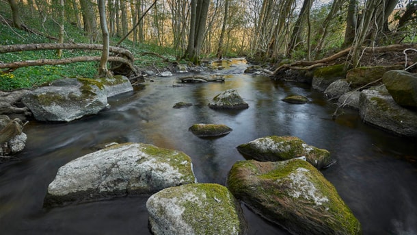
Magnificent extramarginal meltwater valley formed in relation to the Hvidkilde-Ollerup tunnel valleys. The area's many habitats offer a rich and varied animal and plant life.
Geopark: Vejstrup Stream Valley
The striking Vejstrup Ådal is one of East Funen's most beautiful stream valleys with several springs.
Thurø Østerskov og Thurø Rev (Thurø Eastern Forest and Thurø Reef)
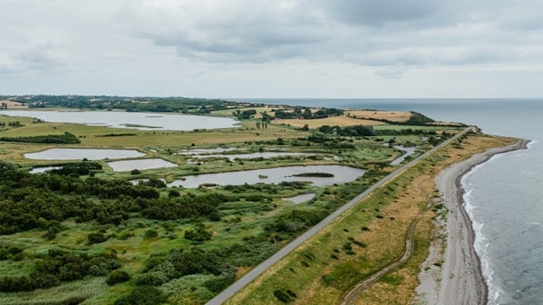
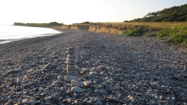
Coastal cliffs with deposits from two ice ages, as well as a well-developed Holocene angle foreland with rich plant- and bird life and good swimming opportunities.
Geopark: Vitsø Nor – dam and pumping mill
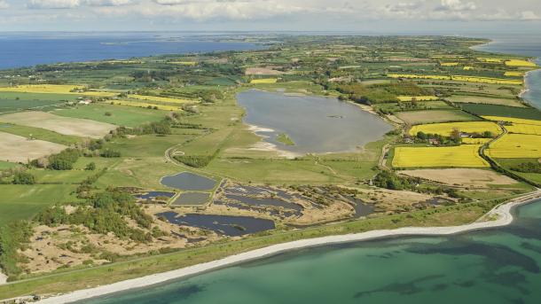
One of the first and largest dams in the archipelago was built in 1788, when a dam closed the opening of the 2.25 km2 Vitsø Nor to the Baltic Sea
Geopark: The sailing barrage in Nakkebølle Fjord
The innermost part of Nakkebølle Fjord is a Holocene former open cove which was reclaimed in 1866-70.
Rødme Svinehaver
This area is situated on a crest of hills rising up to an altitude of 110 metres above sea level between the Stenstrup ice lake to the north and a subglacial valley containing a row of lakes to the so...
Geopark: Tåsinge Vejle
Previously, Tåsinge Vejle was a small meltwater valley created during the last ice age
Geopark: Snarup
The Snarup area is a special part of the complex dead ice landscape that covers large parts of central Funen.
Egebjerg Bakker og Stenstrup Issø
Magnificent glacial landscape with marginal moraines, Denmark's second largest glacial lake, dead-ice landscapes, a stone sprinkling, brickworks industry and a varied outdoor life.
Klintholm Limestone Quarry
Geosite of international value, showing the boundary between the two geological periods Danian and Selandian - and a significant shift in the marine environment from a subtropical sea to a cold 'polar sea'.
South Langeland
For many years, Sydlangeland (Southern Langeland) including Gulstav Mose, Gulstavskovene, Ørnehøj, Dovns Klint and Keldsnor has been known as a great bird migration place, especially in the fall.
Longelse Farm Forest
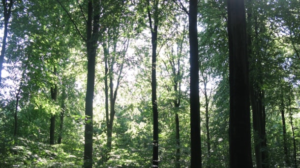
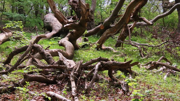
The forest has been left undisturbed for over 130 years and several of its trees are more than 300 years old.
The forests on North Langeland
A large forested area around the port of Lohals on the northernmost part of Langeland.
Arreskov Lake
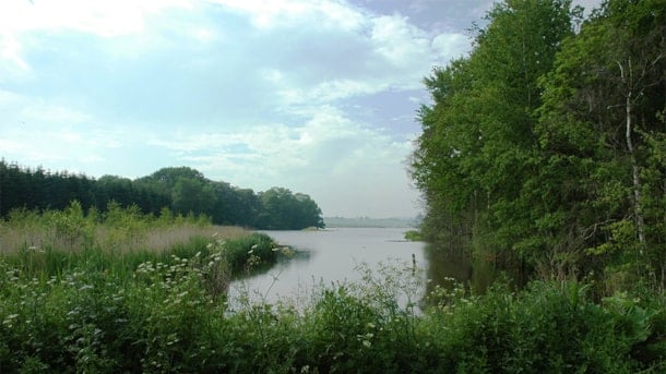
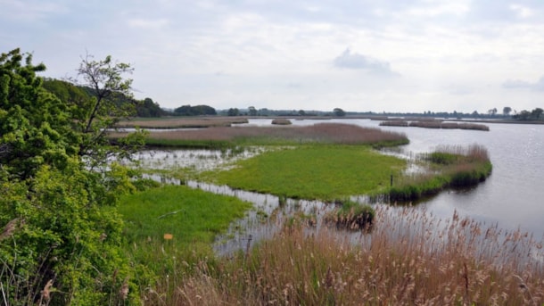
Arreskov Sø (Lake Arreskov) is located east of the ice-marginal hill-complex, ‘The Alps of Funen’, and its size of 3.17 km2 makes it the largest lake on the island of Fyn.
Brændegård Lake og Nørre Lake
Brændegård Sø (Brændegård Lake) and Nørre Sø (Nørre Lake) are, along with the surrounding nature, part of the vast dead-ice landscape occupying major parts of central Funen
Tarup-Davinde
The landscape is changing rapidly. Gravel excavation is turning the region into an area of lakes. This is the largest area af gravel excavation in Fyn County. The area has supplied gravel to country f...
Geopark: The burial mounds in Pipstorn Skov
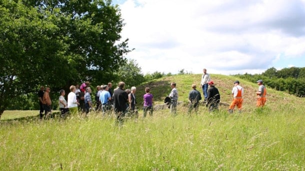
The Bronze Age mounds are particularly prominent in the landscape in that they are located out toward a clear lowering of the terrain.
Geopark: Gamle Hestehaves bronzealderhøje
The religious world of the Bronze Age was probably the most colourful one in Danish prehistory
