Geology
What is a geopark?
A geopark connects the story of an area and links us as people to the nature we are part of. By bringing together the geology, nature and cultural history of an area, the geopark reminds us that we are part of life on earth. That we are all dependent on earth's resources, affected by climate change and responsible for sustainable development.
Geology of the geopark
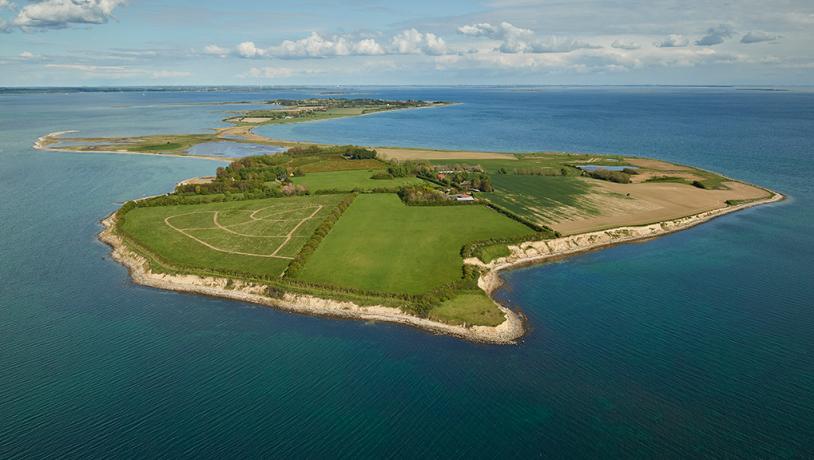
The most important geological highlight of the Geopark is indeed The South Fyn Archipelago. As one of the world’s most spectacular inundated glacial landscapes, the South Fyn Archipelago is a designated Geosite of outstanding international scientific and geological value. It covers an area of approximately 666 km2, and comprises 55 large and small islands. It is an excellent representative of Holocene coastal development – and has been classified accordingly.
The area of the geopark is almost exactly half sea and half land. As a result, the geopark offers a unique variety of geological, natural and cultural heritage.
The history of the South Fyn Archipelago begins more than ten thousand years ago. In the end of the last ice age Weichsel. At that time, Denmark was landlocked with southern England and Sweden, and Fyn and the islands were one continuous area of land with hills, forests and lakes.
Around 8,000 years ago, seawater from the melting Scandinavian and North American ice caps resulted in a dramatic rise in worldwide sea levels. The water made its way through natural dams in the landscape, flooding the entire area, probably so quickly that it was experienced within a single human generation. The sea intruded on the lowlands, leaving only the highest parts of the region above water. Those parts today comprise the 55 islands and islets in The South Fyn Archipelago – a spectacular inundated glacial landscape.
Ever since, the flooding has had a profound impact on life in the area - and still does! The shallow waters of the archipelago, numerous islands and varied coastline are unique and explain why man has developed - and continues to develop - island life, seafaring and agriculture. The geology of the area is the foundation of the South Fyn and the Archipelago we know today.
Traces of the ice
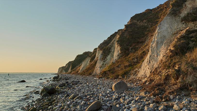
No less than 45 sites of special geological interest have been designated in the geopark. Three of them have been designated as International Geosites which means they are relevant for international geological research: the South Fyn Archipelago, Klintholm Limestone Quarry and Ristinge Cliff.
Photo:Mikkel Jézéquel
A spectacular archipelago
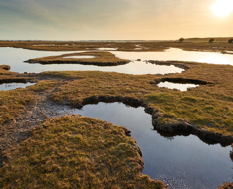
The whole of the South Fyn Archipelago is considered one geosite, as it is rare for such a large and varied glacial landscape to have been flooded and transformed into an archipelago. As many as 55 islands and islets rise out of the shallow sea, and numerous traces of forests and Stone Age settlements that stood here before the sea rose can still be seen under the water.
When the last ice age ended 11,700 years ago, the great ice sheets across the northern hemisphere began to melt and the sea rose dramatically. The valleys and hills that the glaciers carved out of the land over time have therefore been submerged by the sea. At the mercy of the sea, coastal landscapes are dynamic, as waves and currents reshape cliffs, carve out shorelines, form otter, kelp and much more.
Photo:Mikkel Jezequel
Klintholm Limestone Quarry
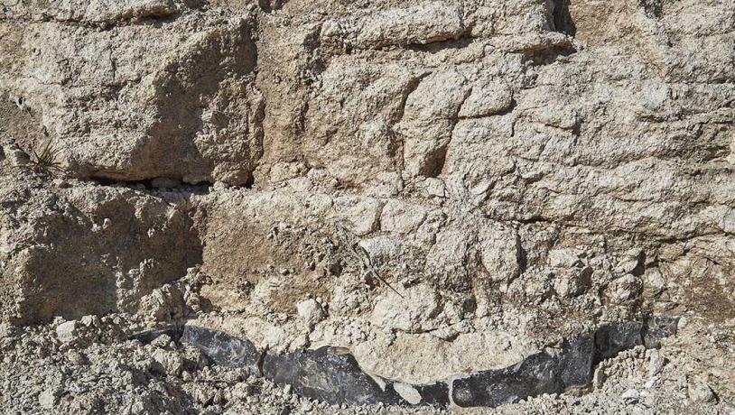
This geosite is an inactive limestone quarry with an interesting geological profile clearly displaying the transition between two geological periods.
White limestone from the Danian period, deposited in what was then a warm subtropical ocean, is seen at the base of the exposed section. Above a sharp boundary, grey marl then appears. This was deposited in a cold ocean in the subsequent geological period, the Selandian. The deposits are approximately 63-60 million years old.
When you visit Klintholm Kalkgrave, try searching for fossils in the large pile of excavated limestone next to the quarry, listen carefully for the sounds of the rare fire-bellied toad in the small ponds, and discover the unique plants growing from the chalky soil.
Photo:Mikkel Jézéquel
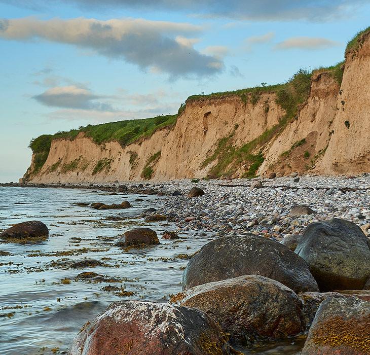
Ristinge Klint (Ristinge cliff)
A world-class example of how an advancing glacier can dislocate and exert pressure on different deposits in front of the glacier.
Ristinge Klint contains lake and marine deposits from the last interglacial period, the Eemian (130–115,000 before present), as well as layers representing four different ice advances during the last ice age, the Weichselian (115–11,700 before present). Additionally, remnants of moraine clay dating from the previous ice age, the Saalian, have been discovered in a few places. As such, the cliff holds great significance for research, education, and popularization of the history of the landscape and the environmental changes taking place over the last roughly 140,000 years.
18,000 years of history in just under 5 minutes
Geospots
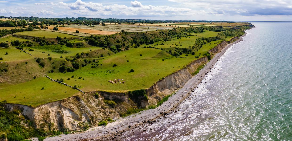
Across the archipelago there a sites of unique geological value, where you as a visitor can experience the traces of the ice age.
Geospots of The South Fyn Archipelago
Explore the geopark
Explore the geopark on foot, by bike or at sea. Download our app and find inspiration and information. Available in App Store or Google Play.
Photo:Mikkel Jezequel
Help take care of our shared
geological heritage
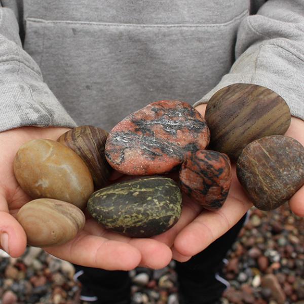
You can collect rocks and fossils
from the beach (as many as you can
carry without aids),
but it's not allowed to dig in the cliffs.
