What is a geopark?
A geopark is a geographical area where the unique geological features of the landscape are of vital importance for life in the area. The ambition is to create a strong common identity as a basis for local development, respecting landscapes, cultural heritage and wild nature. The Geopark will help to ensure the best possible framework for locally based sustainable development.
Photo:Mikkel Jezequel
UNESCO designation
Geopark The South Fyn Archipelago became a UNESCO Global Geopark in the spring of 2024. The area of the geopark is almost exactly half sea and half land, with a terrestrial area of 1,429 km2 and a marine area of 1,304 km2. As a result, the geopark offers a unique variety of geological, natural and cultural heritage.
At the same time, the geopark is testimony to the connectedness of nature, geology and human life. As the climate once again undergoes drastic change, the history of dependency and adaptation is more relevant than ever, and could play a key role in citizen-driven sustainable development.
What is the purpose of geoparks?
A UNESCO Global Geopark transforms the UN's 17 Sustainable Development Goals and UNESCO's values into concrete local development and promotes understanding of how human lives are - and always have been - determined by nature.
A Global Geopark brings into play the geology, nature and cultural history of an area and spreads the message that human beings are part of life on Earth. That we are all dependent on the Earth's resources, affected by climate change and responsible for sustainable development.
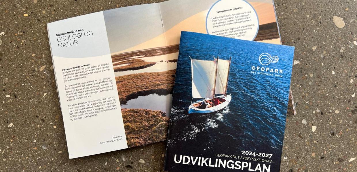
Development Plan for Geopark The South Fyn Archipelago 2024-2027
Read more about the future plans for Geopark The South Fyn Archipelago


