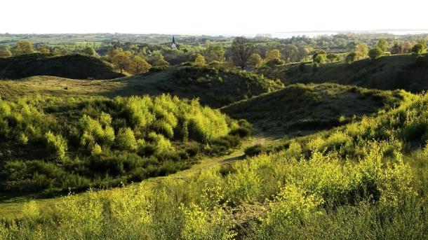
Viewpoints of the Geopark
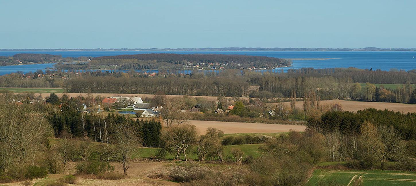
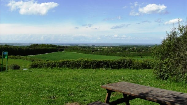
From these vantage points there is a very special view of the archipelago and the drowned ice age landscapes
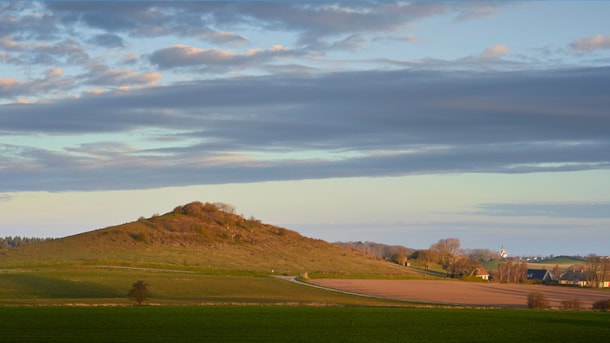
Geopark: Fakkebjerg - a ‘hat-shaped hill’
The landscape of Langeland is dotted with over 1,200 dome-shaped hills known as ’hat-shaped hills’.
Bregninge Kirkebakke
The highest hill in the South Funen Archipelago with Bregninge Church on top offers stunning views of part of the Geopark and opportunities for short hikes
Egebjerg Bakker og Stenstrup Issø
Magnificent glacial landscape with marginal moraines, Denmark's second largest glacial lake, dead-ice landscapes, a stone sprinkling, brickworks industry and a varied outdoor life.
Skjoldnæs og Næbbet
Coastal cliffs, dead ice landscapes and a well-developed Holocene angular foreland are among the natural attractions on the northwesternmost part of Ærø
Svanninge Bakker og Bjerge
Svanninge Bakker and Svanninge Bjerge (meaning ‘the hills/mountains of Svanninge’ respectively) are parts of the so-called ‘Alps of Fyn’ - a 16 km long and 6-8 km wide range of hills reaching a height of 128 m.
