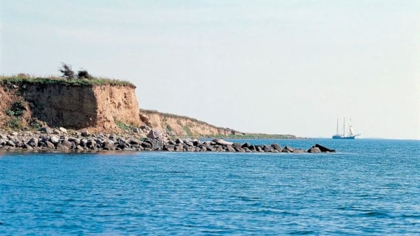
Islands and islets

Photo: Mikkel Jézéquel

The archipelago is known for its many idyllic little islands. A sea area of 450 square kilometres with 55 islands and islets. Here you can read about the inhabited islands and selected islets and learn about their unique history and geology.

List
Map
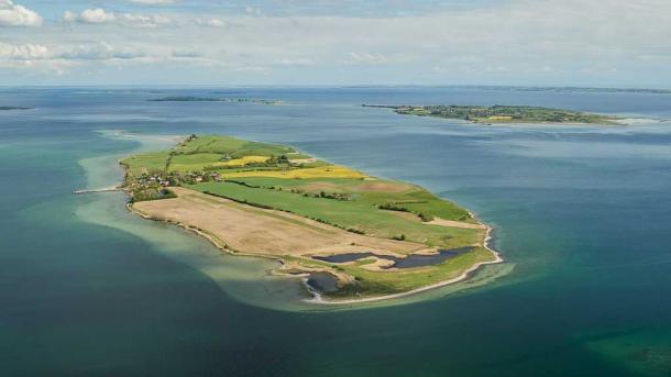
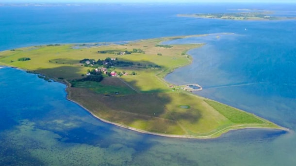
Luftfoto Lyø. Geopark Det Sydfynske Øhav
Photo: Mikkel Jézéquel

Lyø

Located southwest of Faaborg, Lyø is the westernmost island in Geopark The South Fyn Archipelago. From Faaborg, you can get to Lyø with the same ferry that also travels to Avernakø.

Info
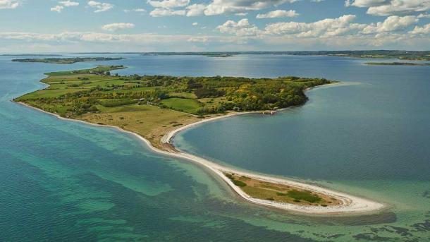
Bjørnø fra luften
Photo: Mikkel Jézéquel

Bjørnø

Bjørnø is a hilly island, peaking at Højberg (24 m above sea level), with plenty of great options for swimming and fishing.

Info
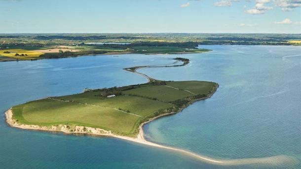
Avernakø seen from the Air. Geopark The South Funen Archipelago
Photo: Mikkel Jézéquel

Avernakø

Located approximately 7 km southeast of Faaborg, the island of Avernakø actually consists of two separate islands – Avernak to the west and Korshavn to the east.

Info
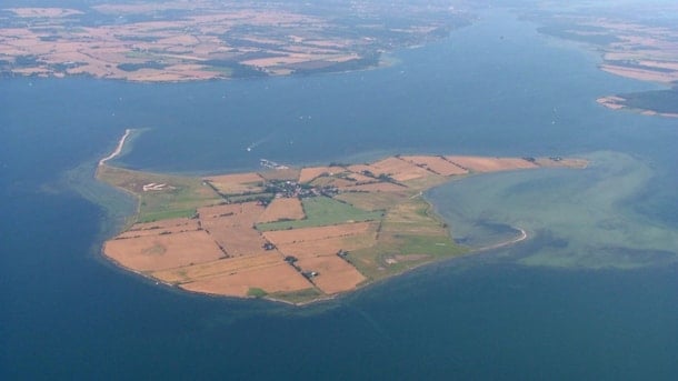
Svelmø, luftfoto. Geopark Det Sydfynske Øhav.
Photo: Mikkel Jézéquel

Svelmø

Svelmø is a small island complex off the coast of South Fyn, consisting of Lille Svelmø, Græsholm, and Store Svelmø. The three islands were once separate but are now connected with natural isthmuses.

Info
Drejø from above - Geopark Det Sydfynske Øhav.
Photo: Mikkel Jézéquel

Drejø

'The island in the middle of the world' - with interesting geology, coastal landscapes, rich birdlife and cultural history.

Info
Geospot: Skarø
Photo: VisitSvendborg

Geospot: Skarø

Skarø is a low moraine island that is partially protected by dikes.

Info
Geospot: Hjortø
Photo: VisitFyn

Geospot: Hjortø

Hjortø is a low, reclaimed moraine island in the shallow eastern part of the archipelago.

Info
Geospot: Birkholm
Photo: Bjørg Kjær

Geospot: Birkholm

Very low, completely reclaimed moraine island in the shallow eastern part of the Archipelago. Most of the coast is made up of Holocene marine foreland.

Info
Geospot: Strynø
Photo: Torben Nielsen

Geospot: Strynø

Relatively low, partially dammed moraine island in the shallow eastern part of the archipelago. The surface is an even moraine surface without significant height differenc

Info
Geospot: Ommelshoved and Halmø
Photo: Ærø Turistbureau

Geospot: Ommelshoved and Halmø

Long, narrow moraine peninsula and smaller elongated moraine island, both with small coastal cliffs with Weichselian deposits.

Info
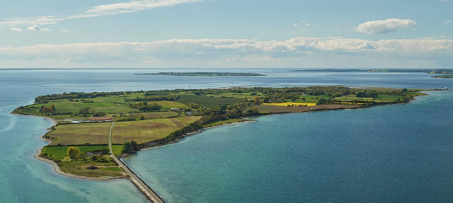
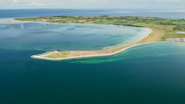
Geospot: Urehoved and Dejrø
Photo: Knud Mortensen

Geospot: Urehoved and Dejrø

Urehoved is a long, narrow peninsula consisting of former small moraine islands connected by Holocene marine formations.
Info

Connect with us:

Geopark Det Sydfynske Øhav © 2024
English