Ancient monuments
Flooded settlements from the Stone Age, excavations, treasure finds and Denmark's largest stone, pushed here from Sweden by a glacier, are just some of the evidence that enriches our knowledge of the past.
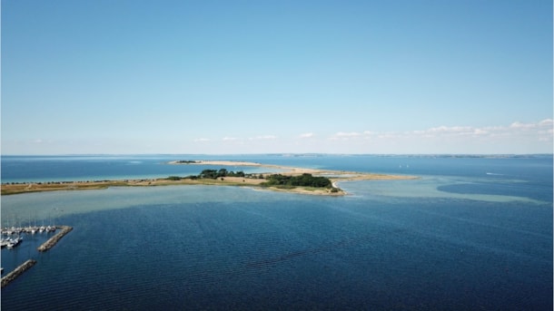
Geopark: The Siø barrow
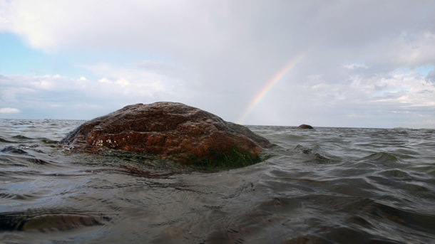
In the shallow water a few hundred metres off the southern tip of Siø lies a long barrow from the Stone Age.
Geopark: The storm surge marks on Avernakø
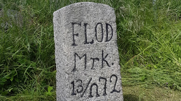
Two river markers mark the ravages of the storm surge on Avernakø.
Geopark: Hulbjerg Passage Grave
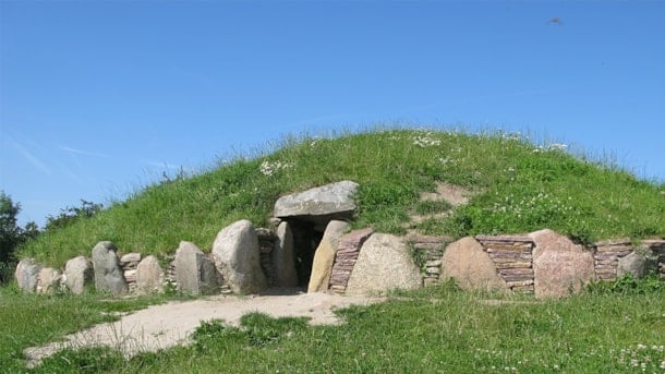
The passage grave at Hulbjerg contains the remains of upwards of 60 individuals
Geopark: The burial mounds in Pipstorn Skov
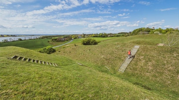
The Bronze Age mounds are particularly prominent in the landscape in that they are located out toward a clear lowering of the terrain.
Geopark: Gamle Hestehaves bronzealderhøje
The religious world of the Bronze Age was probably the most colourful one in Danish prehistory
Geopark: The Gudme Prince’s Hall and Lundeborg
In the village Gudme there are traces of two large halls that have been construed as The Gudme Prince’s Hall and his hall of the gods.
Geopark: Havsmarken and Skt. Alberts Kirke
Throughout most of the Viking Ages, an important trading post was located in a protected cove on the inside of the southeastern corner of Ærø out toward the Baltic Sea.
Geopark: Horne Kirke
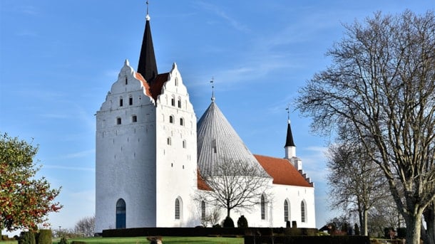
No matter where you are in the western part of the South Fyn Archipelago, Horne Kirke (Horne Church) is within view.
Geopark: Langelandsfortet
A unique example from more recent times of how landscape, nature, and strategic considerations may converge into one unit.
Geopark: Stendiger – Brændegårdsvej, Korinth
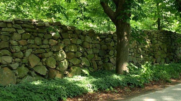
Naturally, the stonewalls bear witness to the many stones in the moraine landscape.
Geopark: Tranekær Castle Mill
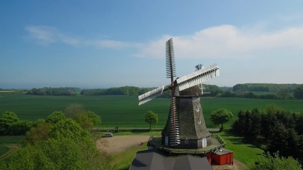
People used to say that Langeland had 15 mills, in Danish “15 bøller”, and 15 parishes.
Geopark: Vejstrup Vandmølle
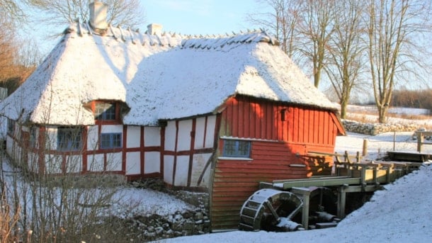
Vejstrupgård built the current watermill in 1838. From 1850 to 1922 the mill operation also had a windmill.
Geopark: Damestenen (The Lady Stone)
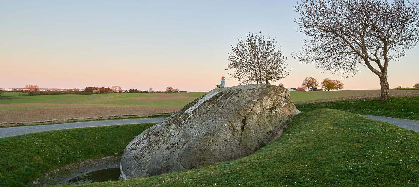
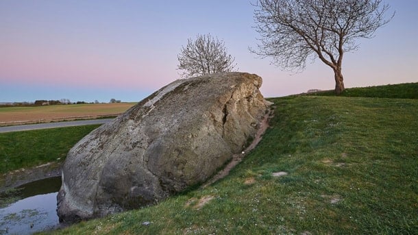
Damestenen (The Lady Stone) is Denmarks largest glacial erratic boulder
Prehistoric Monuments at the nature area Tarup-Davinde
Rolfshøj, Rolighedsvej. Anes Høj, Ibjergvej. Bronzealderhøje, Hudevad Byvej 31. Long Barrows and hills.
Geopark: Dyrehaven i Det Sydfynske Øhav
In the 1200s most of the South Fyn Archipelago served as a deer park for the King.
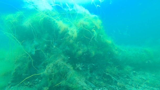
Geopark: Møllegabet
On the seabed off Ærøskøbing lies Møllegabet - a more than 6,000-year-old settlement from the Mesolithic Age.
Geopark: Lindelse Cove and the Strynø Basin
Lindelse Nor and the Strynø Basin together forms the finest example of the drowned landscape of the Stone Age.
